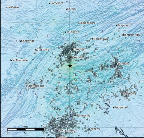
This ShakeMap illustrates the various areas across a four-state region that felt Saturday’s earthquake. The epicenter is marked by a star. Map courtesy of United States Geological Survey
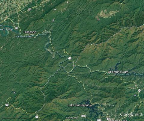
Earthquake shakes Graham County
Kevin Hensley
Chilhowee – Residents and visitors alike were stirred from their Saturday morning slumber by an earthquake across state lines.
According to the United States Geological Survey's website, a 4.1 magnitude earthquake rumbled to life around 9:04 a.m.
Thursday, May 15, 2025