
Scattered throughout the woods of Graham County are a number of old trails and roads.
Many of them are probably unknown to most people, with the exception of hunters.
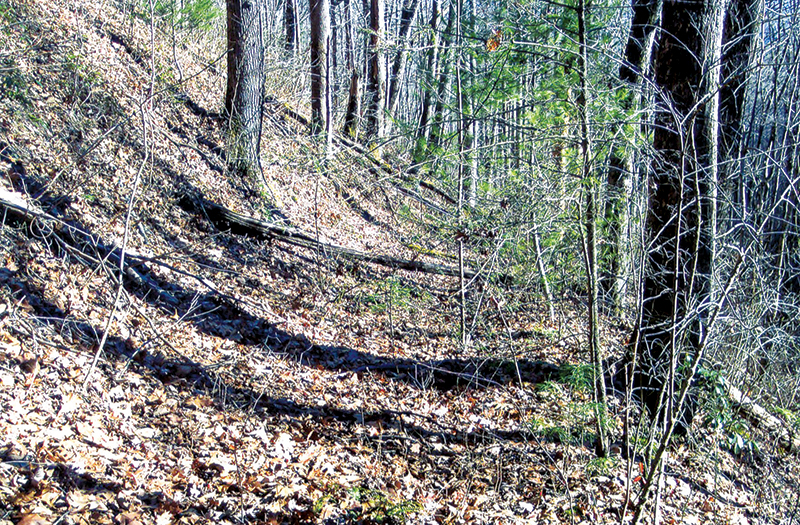
One of the favorite things that Hoot Gibbs and I like to do is to locate these old trails and roads. With a few exceptions, most of them are not on any map. They are becoming more overgrown as time passes. There is some difficulty encountered in locating them and following them.
When early white settlers came to what is now Graham County in the 1830s, the only access were trails used by the Cherokees that been trails used by animals and known as “game trails.” One such trail that is shown on a map is dated 1762 and was a major trade route used by the Cherokee’s.
This trail came from the Nantahala River down Tallulah Creek to the present day town of Robbinsville, then down the Cheoah River, through Santeetlah Gap – crossing ridges at Bear Creek – and then passing through Slickrock and on to Tennessee, where it passed Tallassee, Calderwood and on to Knoxville. The portion of the trail through the Joyce Kilmer Forest passed close to the Memorial Plaque, near the John Denton homeplace and by the Rattler Ford area.
In time, some of these old trails were widened to accommodate sleds and wagons, as more white settlers began to enter the area. What is now a part of U.S. Highway 129 known as “The Dragon” was a Cherokee trail that was widened to a wagon road by soldiers under the command of General Winfield Scott. From 1848-62, a number of new roads were built and old ones improved in western North Carolina, as more white families began arriving.
Hoot and I recently walked a portion of the old Cherokee trading route that we had not been on. This section ran from just below Santeetlah Gap passing through the Blue Boar Lodge property on its way to the Cheoah River (now Santeetlah Lake).
Marshall McClung is the historical columnist for The Graham Star.