
* Part 3 in a series
There is no record of travel by a white man across the towering mountains of western North Carolina – prior to 1769, when Daniel Boone made his pilgrimage.
He was followed by James Robertson and 16 families that who left Wake County, N.C. after the battle of Alamance and found their way to the Watauga settlement.
They followed the Catawba River to its headwaters near Banner Elk in Watauga County, N.C., crossing at McKinney Gap near Altapass in Mitchell County and then followed Bright’s Trace over the Yellow Mountains east of Erwin, Tenn. near the North Carolina/Tennessee state line, then down the Doe River to Watauga in Carter County, Tenn., northeast of Elizabethton, Tenn.
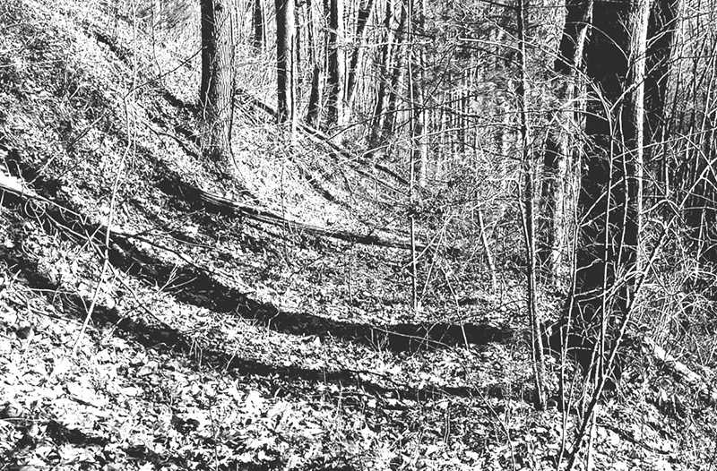
It is probable that the trails followed by Daniel Boone – and later pioneers – were made first by buffalo, deer, bear and other wild game, seeking the easiest way to travel from one feeding ground to another. The Cherokees made their trading routes by following these primitive trails.
When the early white settlers wanted to build a road, they drove a bull to a gap in a mountain and down the other side, following his tracks with a new grade. According to R.G. McGhee, a wagon road was opened in 1778 across the mountains from the Watauga settlement into the settled parts of western North Carolina. This road probably followed the route traveled by the first white settlers of Watauga.
The Swannoa Gap Trail was the first road into Buncombe County from the east. This road, beginning at Old Fort and running to the head of the Swannoa River was completed in 1793.
In July 1795, Governor Blount – of the territory south of the Tennessee River – appointed John Sevier, chairman of a committee to build a road into North Carolina from Tennessee. This road followed the French Broad River to Hot Springs.
Little travel existed between North Carolina and Tennessee until after 1828, when the Buncombe Turnpike from Saluda Gap – via Asheville and Hot Springs – was opened.
Due to its location – between rugged mountains on all sides – Graham County was one of the last sections of western North Carolina to be settled by whites. It wasn’t until after 1838 that any large number of whites took up their abode here. Prior to that time, there were no roads in what was to become Graham County: just Cherokee trading paths.
One such trail led from the Nantahala River down Tallulah Creek to Robbinsville, then down the Cheoah River to Johnson and then across ridges to Bear Creek, Slickrock Creek, and on to Tallassee Ford (now Calderwood).
Marshall McClung is the historical columnist for The Graham Star. He can be reached via email, mcclungs@email.com.