
* Part 4 in a series
It is believed that John and Robert Stratton followed a trail in the 1830s, which ran from what is now Calderwood in Tennessee into the Slickrock, Bear Creek and Rock Creek areas of what is now Graham County.
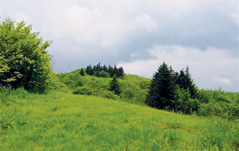
They came to an area between the head of Sassafras Ridge and Santeetlah Creek. John Stratton lived in the Stratton Bald area for 10 years. He arrived with nothing but his rifle, blanket and ammunition.
He earned enough herding cattle – and selling deer and bear meat – to buy a farm in Tennessee. It is not known for certain if his wife was with him, but a crude stone on Stratton Bald was carved thus: A.S., Born 1787 – Died 1839.
Probably the first wagon road into Graham County was the old wagon road from Valley Town (now Andrews) to Fort Montgomery on Fort Hill, near the present town of Robbinsville. Fort Montgomery was constructed under the supervision of Dr. Dan F. Summney of Asheville, for the use of the soldiers removing the Cherokees in 1838.
Joseph A. Wiggins – who was born in 1832 on Alarka Creek in Swain County and became a distinguished Methodist minister – entered Graham County over this road in 1840.
Wiggins began to preach in 1859. He served four years as a chaplain in the Confederate Army. After the Civil War ended, Wiggins rode circuits in western North Carolina, Tennessee and southwestern Virginia.
In 1840, there were no grist mills for grinding corn into meal in this general area. Corn had to be packed by horse along the Little Tennessee River to a mill five miles downstream from what is now Bryson City.
It is uncertain just when the road up the Little Tennessee River into North Carolina from Tallassee Ford at Calderwood (now U.S. Highway 129), was built. It is probable that the road following one of the old Cherokee trading trails was constructed by soldiers of General Winfield Scott from Bushnell down the Little Tennessee River to Calhoun, Tenn., which he used as headquarters sometimes.
The present-day U.S. Highway 129 crosses under an electrical transmission line at The Narrows where the Calderwood Dam is seen below from an overlook. Near this point, the Cherokees had a large burial ground. The old road south of this point was known as the Sanford Turnpike.
Near Rabbit Creek – said to be name for a Chief Rabbit of the Cherokees – are the remains of a stone chimney. A toll gate keeper’s house was here near Dalton Gap. There were roadhouses along this road where travelers could spend the night. A small stream near the toll gate was called Cooper’s Camp Branch.
Marshall McClung is the historical columnist for The Graham Star. He can be reached via email, mcclungs@email.com.