
* Final of a 10-part series
This is the final of a series of historical stories about Graham County.
This series was from a history project I did at age 14, in 1958.
The following facts are from that period of time and not the present:
From being one of the poorest counties per capita – based on property valuation in the state – Graham County has risen in the past few years to be within the first four in southwestern North Carolina. Primary responsibility for this has been the Carolina Aluminum Company hydroelectric development, Tennessee Valley Authority and the increase in tourism.
* The high mountains of Graham County include Hangover, 5,160 feet; Hooper Bald, 5,429; Laurel Top, 5,317; and Graham County’s highest mountain, Big Huckleberry at 5,560 feet.
* Santeetlah Lake and the Cheoah River are two of the larger bodies of water in Graham County.
* Graham County had a population of 6,500 in 1958, and 6,886 in 1950.
* There were 750 farms in 1950 – 7 percent of which was farmed by tenants;
* The population of Robbinsville in 1950 was 515 persons;
* Graham County had one railroad that was 10-12 miles in length, from Robbinsville to Topton;
* Small amounts of gold and copper were found here and there;
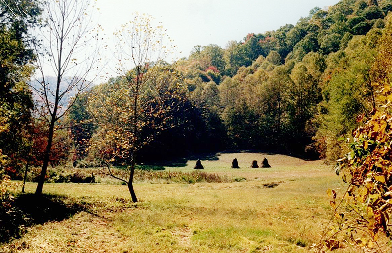
* Tobacco was the chief crop grown;
* The county had approximately 10,000 apple trees, 1,000 dairy cows and sold around 25,000 chickens per year;
* There were 1,000 head of beef cattle on local farms;
* The county sold around 50,000 eggs a year;
* Graham County had three schools, Robbinsville, Stecoah, and Mountain View.
It has been said by some that nothing ever changes in Graham County.
You can be the judge after reading this.
Marshall McClung is the historical columnist for The Graham Star. He can be reached via email, mcclungs@email.com.